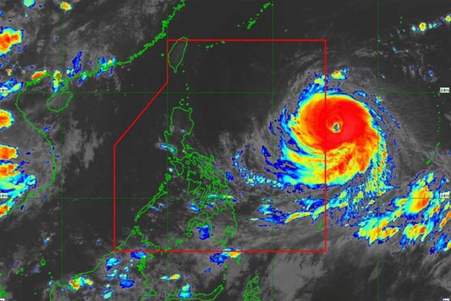
The Philippine Atmospheric, Geophysical and Astronomical Services Administration said Super Typhoon Bavi is expected to enter the Philippine Area of Responsibility on Wednesday, where it will be named “Inday,” prompting the raising of tropical cyclone wind signals across Northern Luzon.
With maximum sustained winds of 195 kph and gusts reaching 240 kph, the cyclone is forecast to remain a super typhoon before gradually weakening as it passes near extreme Northern Luzon toward eastern Taiwan.
Although landfall remains unlikely, PAGASA warned that Signal No. 2 or 3 may be raised due to the storm’s powerful winds, with possible wind signals extending to parts of Southern Luzon and the Visayas.
The enhanced southwest monsoon, or habagat, combined with the storm, is also expected to bring heavy rains over northern and western parts of the country.
Meanwhile, Metro Manila and much of the country may continue to experience isolated rain showers and thunderstorms due to localized weather systems.
Source: PhilNews24 | July 8, 2026