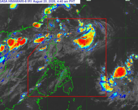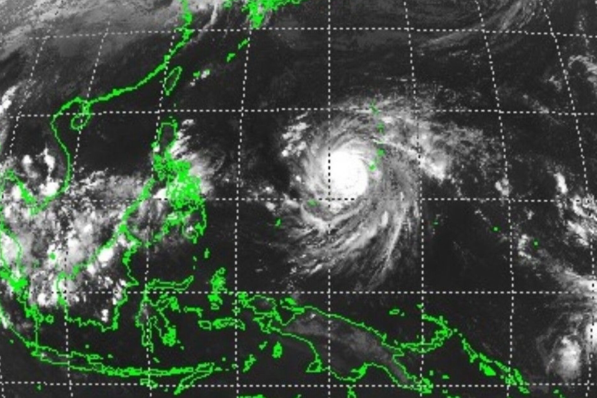
Super Typhoon Champi is expected to enter the Philippine Area of Responsibility (PAR) by Tuesday morning and will be named Rosal, according to the Philippine Atmospheric, Geophysical and Astronomical Services Administration (PAGASA).
The storm was last spotted 2,000 kilometers east of Southern Luzon, packing maximum sustained winds of 185 kilometers per hour and gusts of up to 230 kph.
PAGASA said its winds may be felt by Wednesday, while rains could affect southern parts of the country as early as Tuesday.
Rainfall is expected to intensify in northern areas later in the week as the super typhoon moves westward.
Meanwhile, several areas across the country will experience scattered rains, thunderstorms, or isolated showers due to the easterlies, the intertropical convergence zone, and localized thunderstorms.
Source: PhilNews24 | October 19, 2026