Tropical Storm Maymay is expected to weaken as it crosses Northern and Central Luzon on Thursday, but it will continue to bring heavy rain, strong winds, and rough seas, according to PAGASA.
More than 200 millimeters of rain may fall over parts of the Ilocos Region and the Cordillera, raising the risk of flooding and landslides, while monsoon rains may also affect Metro Manila and nearby provinces.
Tropical Cyclone Wind Signals No. 1 and 2 remain in effect in several areas, with dangerous sea conditions expected along the western coast of Luzon.
The storm prompted the suspension of classes and government work in Metro Manila and several northern provinces before its expected landfall.
PAGASA advised residents and mariners to remain vigilant as Maymay’s track may still change and hazardous weather could extend beyond its projected path.
Source: PhilNews24 | August 6, 2026
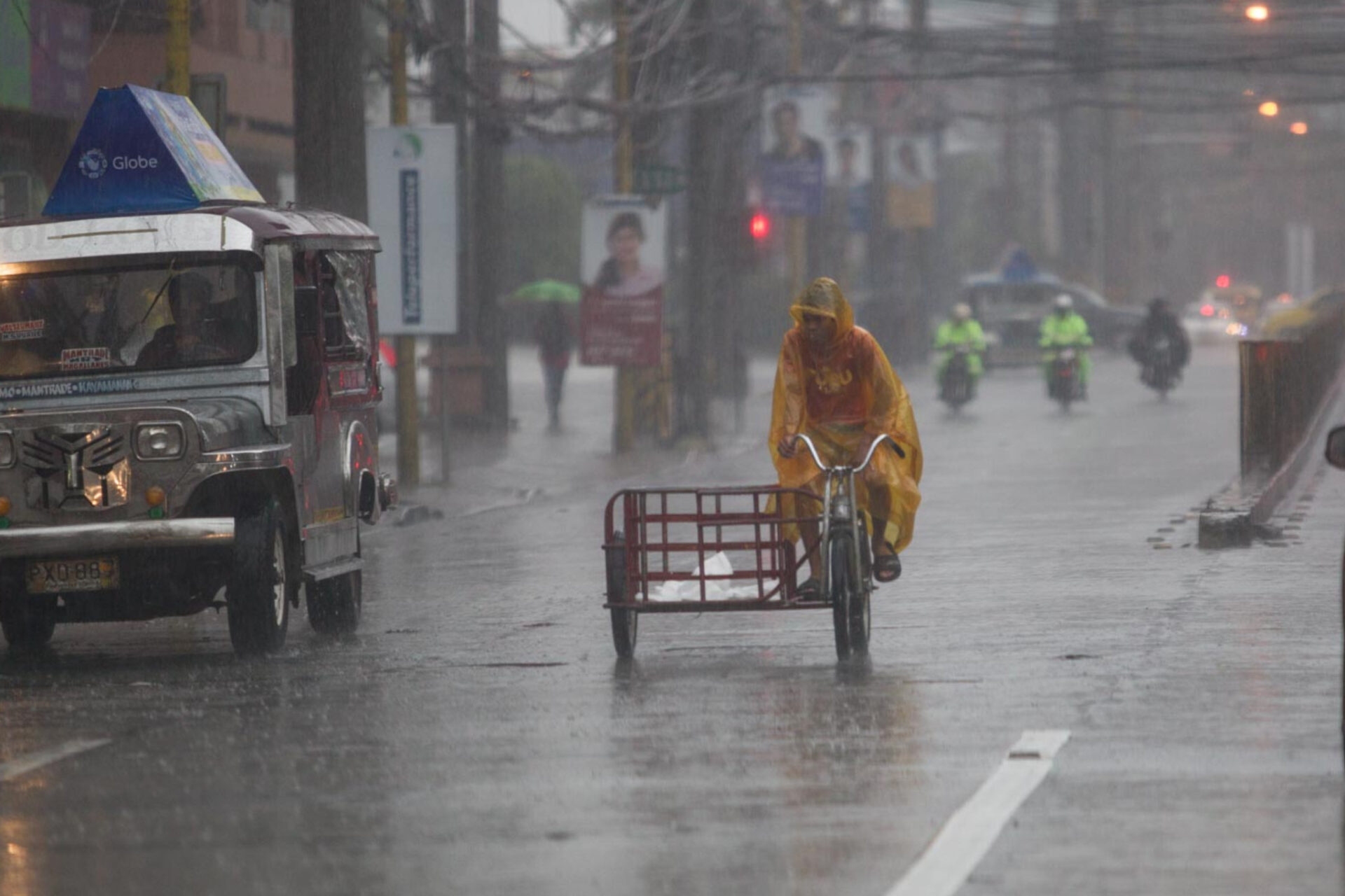
‘MAYMAY’ HEADS ACROSS NORTHERN, CENTRAL LUZON AFTER CLASS, OFFICE CLOSURES



Latest from News

Youth and student groups marched to the EDSA Shrine to demand an end to corruption and

Newly installed National Anti-Poverty Commission (NAPC) head Manny Pacquiao is pushing for satellite offices in every

The Metropolitan Manila Development Authority (MMDA) said a five-year community-based solid waste management program cut waste
The Department of Agriculture (DA) said the 29.9-percent increase in palay farmgate prices in August could