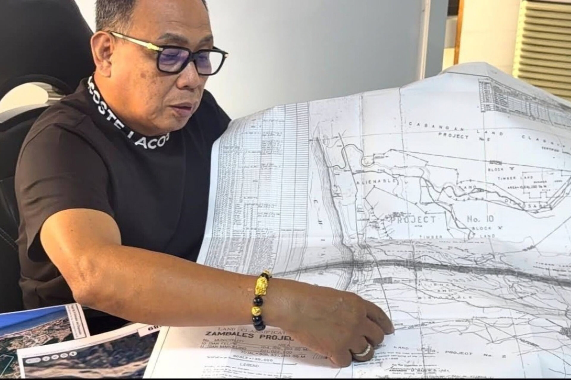
The Zambales provincial government has released a certified Namria map expected to help clarify the legal status and ownership of disputed coastal land in San Felipe, particularly in the Liw-liwa area.
The map can help determine whether coastal parcels are unclassified public land or have been formally declared alienable and disposable, which is necessary for lawful private ownership.
Local officials and environmental authorities have been conducting land delineation and reclassification efforts to address long-standing disputes involving alleged illegal occupation, resort structures, and questionable land claims.
Officials said long occupancy alone does not establish private ownership of inalienable public land, while structures built in accretion areas may be subject to removal under applicable laws.
The map will be provided to the San Felipe local government as potential evidence in legal proceedings and as a basis for protecting public land boundaries and public safety.
Source: PhilNews24 | September 23, 2026