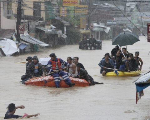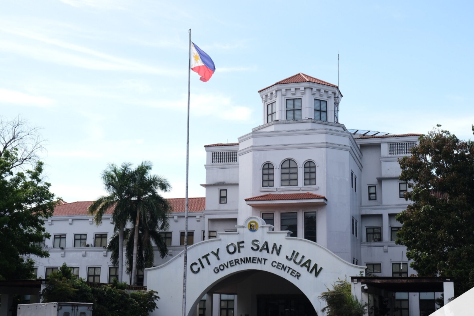
San Juan City Mayor Francis Zamora said the city will use Project NOAH to map blocked waterways and drainage systems to address recurring flooding.
He explained that structures built over former water channels prevent proper rainwater flow, worsening floods during heavy rains.
Project NOAH’s Lidar drones and terrain-mapping technology will help identify old channels, underground drains, and priority areas for intervention.
The city has been clearing obstructions and relocating affected families to staging areas to allow drainage rehabilitation, in coordination with the DPWH.
Zamora warned that without science-based mapping and targeted measures, flooding will continue in San Juan’s interconnected creeks and river systems.
Source: PhilNews24 | March 1, 2026