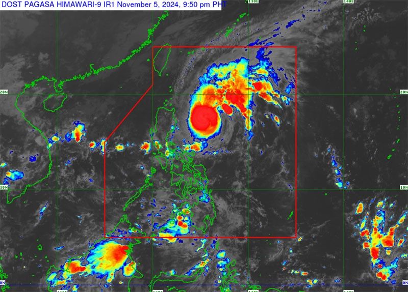
Typhoon Marce is rapidly intensifying and is expected to hit Northern Luzon tomorrow, with landfall likely over the Babuyan Islands or northern Cagayan. According to PAGASA, as of 4 p.m. yesterday, the typhoon was located 480 kilometers east of Isabela, moving northwest at 25 km/h. Marce’s maximum sustained winds are 130 km/h, with gusts up to 160 km/h.
Tropical Cyclone Wind Signal No. 1 has been issued for several areas, including Batanes, Cagayan, Ilocos Norte, and other provinces in Northern Luzon. PAGASA warns that Signal No. 4 may be raised as the typhoon progresses. The storm is expected to exit the Philippine Area of Responsibility by Friday afternoon.
Rain from Marce has already started affecting Cagayan Valley, Aurora, Quezon, and Bicol, while scattered rainshowers and thunderstorms are also impacting Mindanao and Eastern Visayas. Localized thunderstorms may bring isolated rains to Metro Manila and other parts of the country.
In preparation, Defense Secretary Gilbert Teodoro has ordered local government officials to prepare for possible forced evacuations in hard-to-reach areas. These measures will be enforced especially in remote communities, including islands, to ensure safety before Marce strikes.